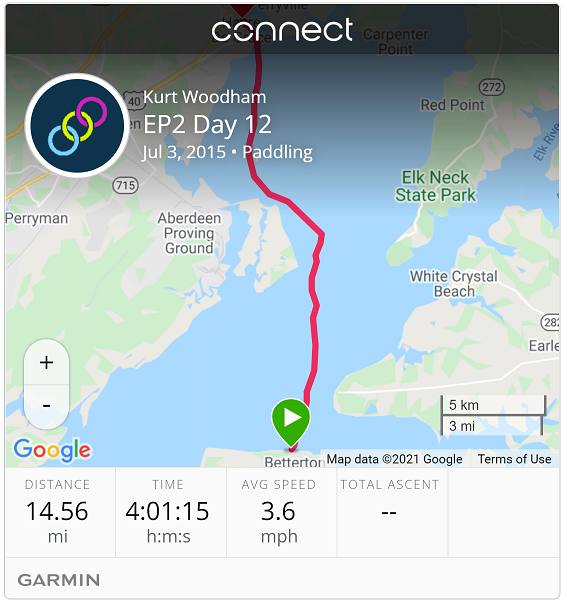
| Start: | Betterton |
| End: | Havre de Grace |
| Estimate Leg: | 13 miles |
| Actual Leg: | 14.6 miles |
| Estimate Cumulative: | 211 miles |
| Actual Cumulative: | 224.2 miles |
Last leg north!
Wanted to avoid some of the current that I experienced yesterday, so we decided to go back into Chestertown for the morning, and wait until close to low tide to get on the water. Low tide at Betterton was about 2:30, so I was on the water right around 2:00. Still plenty of current - as I went through the day I began to think that this was largely from the outflowing Susquehanna. Ended up fighting a current all day up until Havre de Grace at about 6:00, so there’s no doubt that this was the case.
Left Betterton and headed straight towards the “1ER” (Elk River) buoy. This is in the shipping channel that feeds into the Delaware Canal. Water in this area was a bit rough - found out later that all of the water from the Susquehanna flows across and piles into Betterton, so this made sense. It also explained why there was so much churn the day before as I rounded Howell Pt - really boiling patch to paddle across.
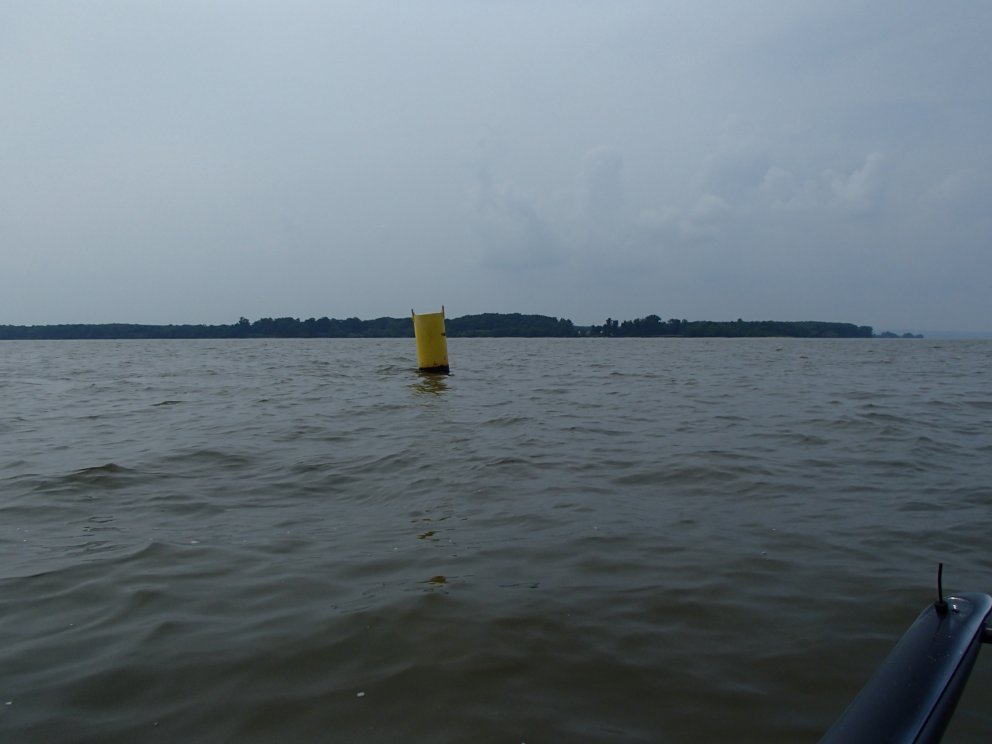
From 1ER, my next way point was the yellow marker at the edge of the restricted zone for Aberdeen Proving Grounds. During the week, this zone extends way out in the bay and any excursion into it will receive a greeting from a patrol boat and a personal escort back out of the zone. On weekends and holiday, the area is open to navigation, although it remains a misdemeanor to set foot on shore. (See CFR 334.140 Chesapeake Bay; U.S. Army Proving Ground Reservation, Aberdeen, Md.). In any case, the yellow marker seemed like a good intermediate waypoint for me heading towards the Susquehanna markers into Havre de Grace.
Lots of stuff in the water to watch out for - I imaging that the powerboats had to be very vigilant. I had to steer around many big clumps of weeds (had to do my rudder-clearing reverse thrust maneuver every once in a while), and many large logs floating along. Apparently there was quite a runoff from the Susquehanna - maybe some recent flooding, although I have not been keeping up with the news.
Next waypoint was pretty symbolic as the first sign of the Bay coming to an end: marker 1 for the Susquehanna. Marker numbers (green - odd, red even) mark the port and starboard boundaries for channel and increase as you return (“red-right-return”). So marker 1 is the outermost start of the channel.
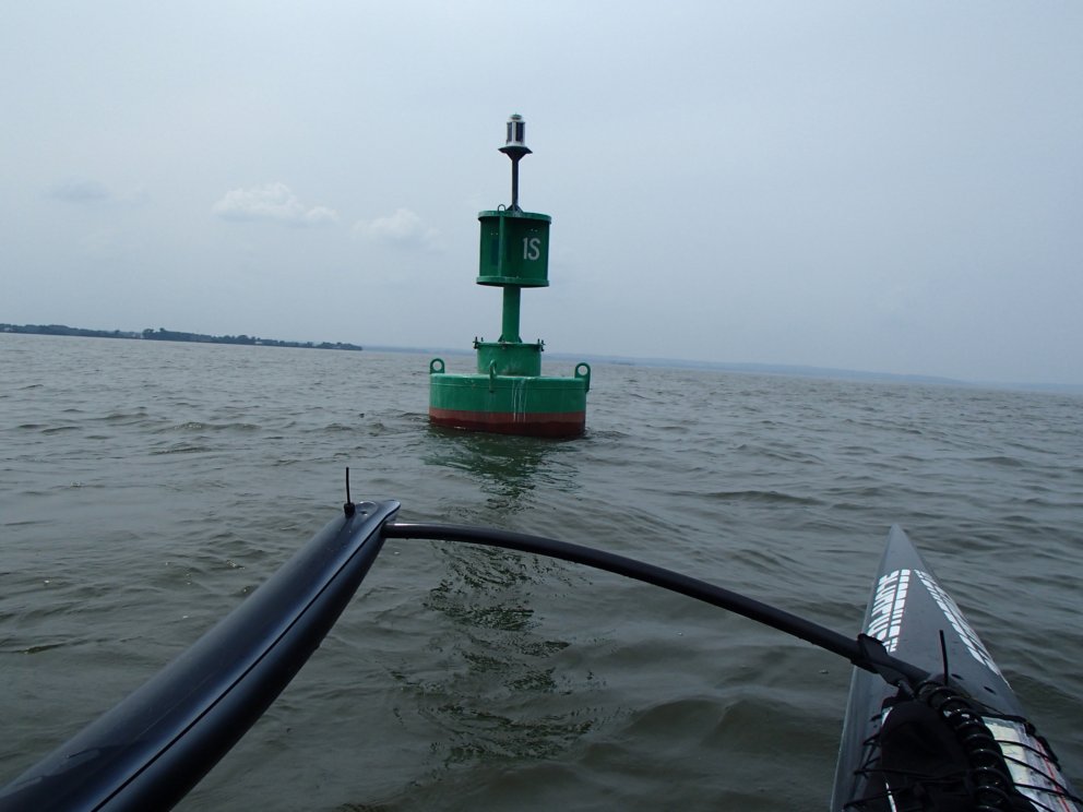
I was pretty excited about bringing this aspect of the trip to a close: I’ve paddled the entire length of the Chesapeake bay! But it was still a slog against the river current. The charts shows shallow areas on both side of the channel, and based on the amount of weeds that I hit on a short exploration when Ruth and I were up here in 2013, I opted to just stick to the channel like the big boys - usually paddling right outside the markers. Big wakes from some of the larger and faster boats, but no trouble handling them.
I was tired, but felt fine and was keeping a good stroke rate when a sailboat slipped up next to me. The couple on board called out to make sure that I was OK: “We can tow you in if you need it!” - I assured them that I was fine. That left me wondering if I looked like I was in distress or struggling - best I can figure out is that my outrigger popped up slightly right before they overtook me (common occurrence), and maybe they thought I was about ready to go over. Then again, maybe I just looked like I was in distress. I thought back to yesterday when the turkey buzzards lined the shore just past Wartons Pt - maybe they thought I looked like I was in distress too.
Finally slogged my way into Havre de Grace - just behind the sailboat (thankyouverymuch). Great town - and the end of the road.
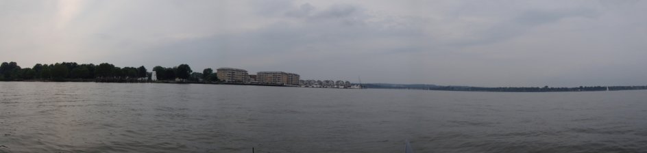
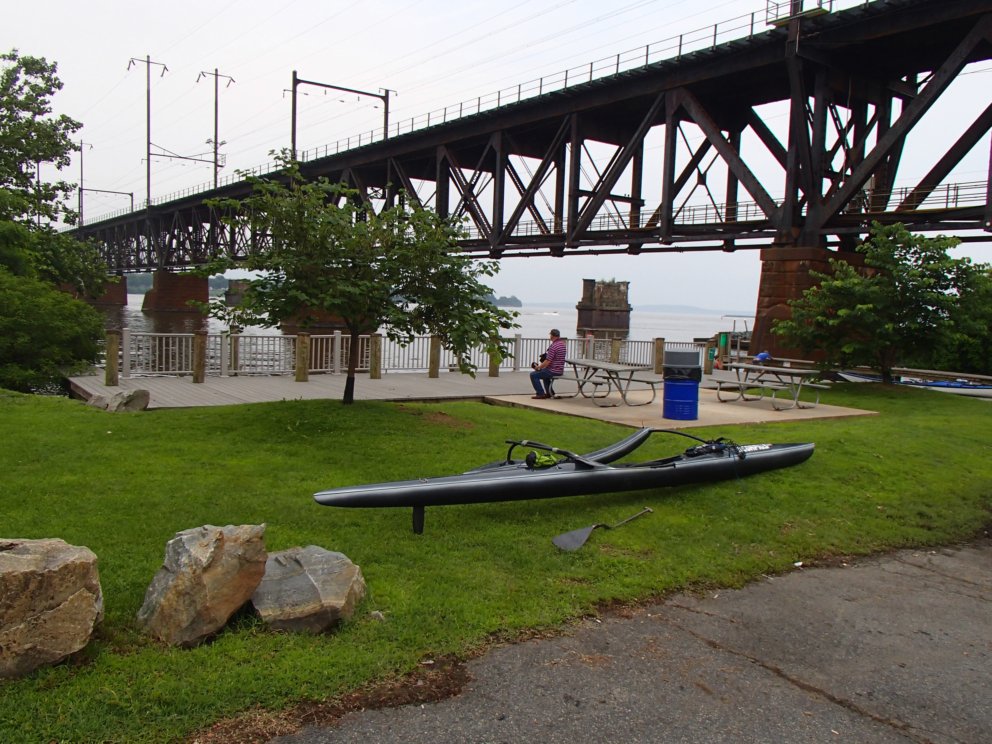
Headed around the corner of the railroad bridge to Jean Roberts Memorial Park - and my amazing support crew. Met Bob Shakeshaft, who had just pulled out at the same spot after an afternoon paddle around Garret Island (three laps). Really enjoyed talking with him - he’s the Captain of the “Pirates of the North” chapter of the Chesapeake Paddlers Association - sounds like a great group.
Tomorrow looks to be a rain-out day, so I will wait until Sunday to head back South: two legs to the Key Bridge in Baltimore.