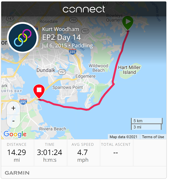
| Start: | Miami Beach Park |
| End: | Key Bridge, Baltimore |
| Estimate Leg: | 15 miles |
| Actual Leg: | 14.3 miles |
| Estimate Cumulative: | 255 miles |
| Actual Cumulative: | 268.4 miles |
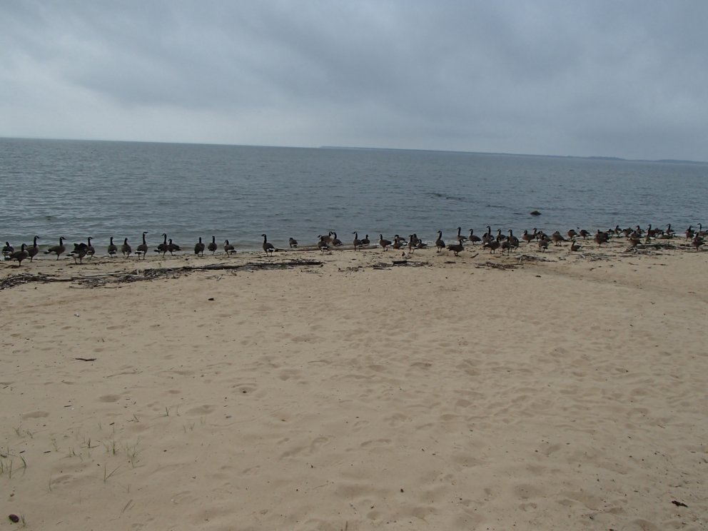
Wonderful finish to the trip. Got on the water about 9:30 after maneuvering a launch off a crowded beach:
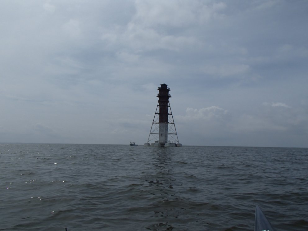
Headed straight through Hawk Cove and into the Craighill channel at the south end of the Hart-Miller Island. Kind of a cool looking lighthouse - link provides pictures of former glory when there was a dwelling at the base of the tower.
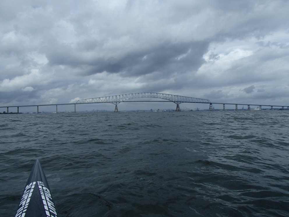
Made really good time (for me) on the trip in front of North Point State Park and into the Patapsco river. Shortly after this, I caught my first glimpse of the Key Bridge. Wind was from the east at this point, so I was able to catch a ride for a good portion of the time up the river. Here’s my last shot for the trip - looking through the Key Bridge at the Baltimore skyline.
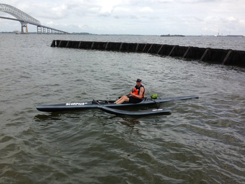
Hit Fort Armistead Park at the south end of the bridge - Ruth pulled up right when I was about to turn into the breakwater protecting the boat ramp.
We loaded up, and then headed for home after stopping at The Jetty at Kent Narrows for lunch. Then back down the Eastern Shore via 50 and 13 - reminiscing about the small towns along the way.
Been a great trip! So grateful for an amazing wife who has been such a tremendous support.