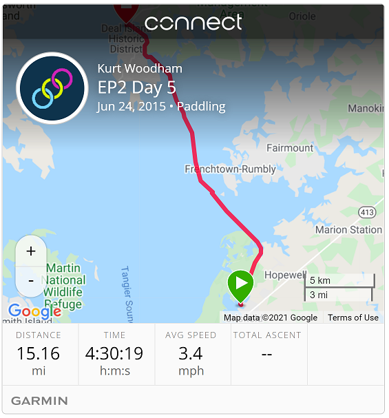
| Start: | Chrisfield |
| End: | Deal Island |
| Estimate Leg: | 15 miles |
| Actual Leg: | 15.2 miles |
| Estimate Cumulative: | 96 miles |
| Actual Cumulative: | 99.5 miles |
Little ’splaining of the speed chart on the Garmin track. Should’ve checked the Garmin batteries before I left, and also should’ve been packing spares - but I struck out on both accounts. (Some Boy Scout I turned out to be - whatever happened to “Be Prepared?”) So I turned it off at about the 10 minute mark, and then found a couple camping at Janes Island State Park that kindly gave me a couple AA cells. Up and running after having a good chat with them.
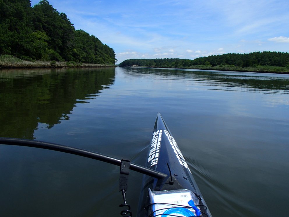
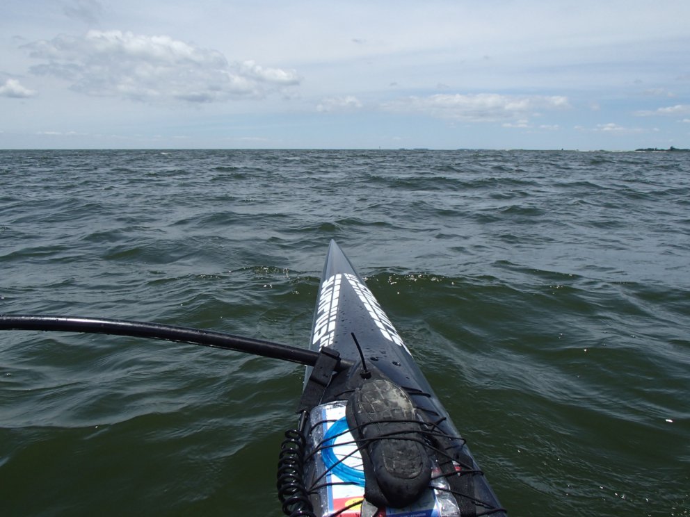
A bit shorter of a leg today - some prediction of a slight north wind, but the weather boys way underpredicted it, and I was slogging into a stiff headwind for most of the day, save for the two-mile canal behind Janes Island at the start.
Fifteen miles in 4:30 at pretty much full effort. Any breaks and I was going backwards in no time, so I had to pretty much keep the heat on all the way across the Manokin River.
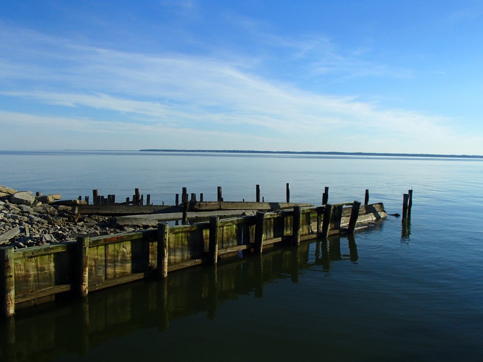
I was extremely happy to get into the canal through the marsh behind Deal Island and up to where Ruth was waiting at the bridge. She was having a great time looking for sea glass at the beach next to the bridge, but was also starting to worry a bit, as I was waaaay over my estimate for how long this leg would take.
Staying at Taylors Island Family Campground, where we are renting a trailer for the next few nights. This is a very narrow section of the bay, with full view from Cove Point up to (I think) Chesapeake Beach. Here’s a shot late in the evening across the Bay looking at the Calvert Cliffs area.