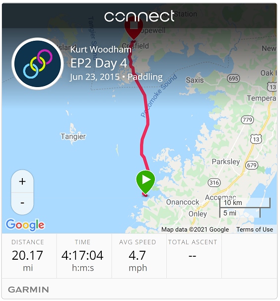
| Start: | Onancock Creek |
| End: | Chrisfield, MD |
| Estimate Leg: | 19 miles |
| Actual Leg: | 20.2 miles |
| Estimate Cumulative: | 81 miles |
| Actual Cumulative: | 84.3 miles |
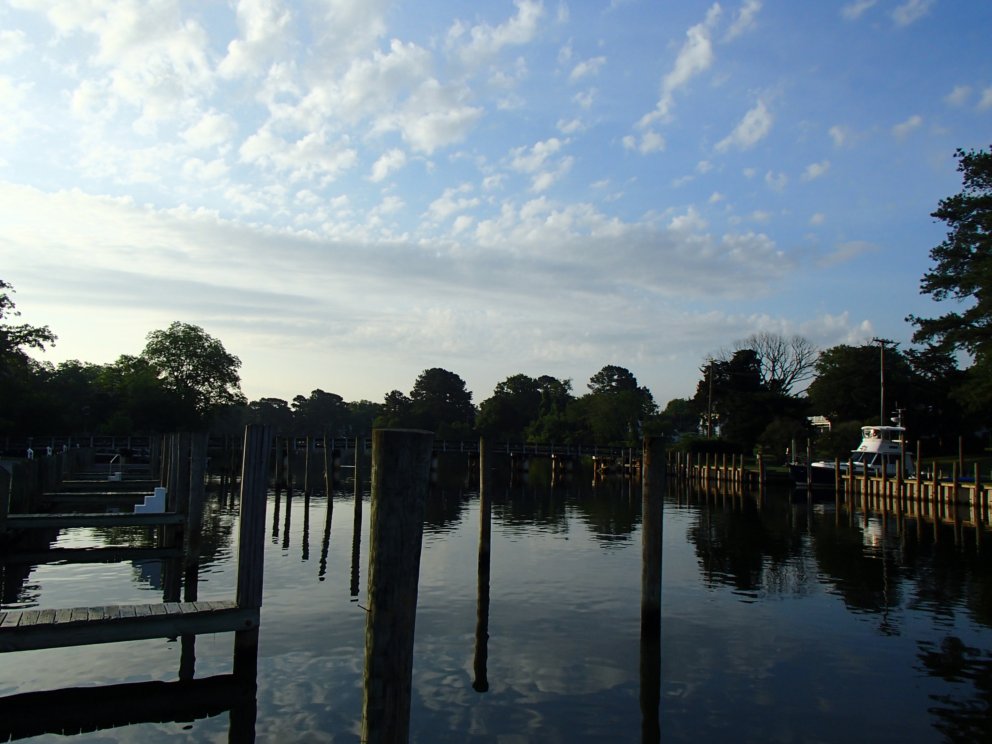
Woke up to a beauty of a morning in Onancock. Had to hit the local Sunoco for coffee along with all fo the fishermen in the area, and then I went down to the harbor. Nice peaceful morning.
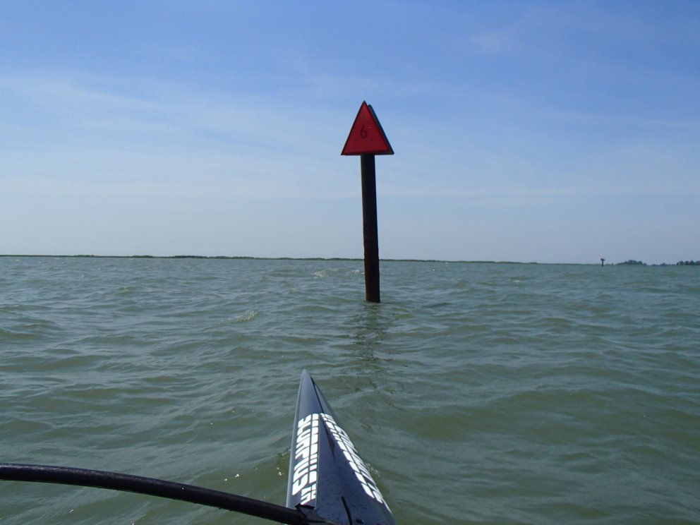
Although the first day crossing was longer, today was probably the most intimidating paddle of the trip. (I hope so, anyhow.) A sustained 15–20 MPH SW wind made for some pretty big chop - lots of white-capped swells. Not everything was moving in the same direction, though, so it was really bumpy (for me).
One benefit from the wind, though, was that with a couple hard pulls I could hop on a swell and take a good ride. Garmin log captured a top speed of a bit over 8 MPH, but I glanced down at my GPS one time and saw over 10 MPH - apparently in-between track samples for the trip log.
Bad part of the wind, though, was that it was SW, and I was trying to go pretty much straight north to catch the cut through to Chrisfield. So the whole crossing was a battle to keep my heading. So I spend a good amount of time in the troughs trying to point NE, so that–with the wind–I would maintain a North heading. It really feel like the waves were colluding to hit the back end of my ama (outrigger) to pop it up and flip me over. No “huli” (flip) the whole way, but I had throw a lot of braces in. The whole routine got a little old after a while.
Have to admit that my nerves got a little rattled about half-way through. I had set a GPS waypoint for Red Marker 6 a mile or so east of Watts Island as essentially the “start” of the crossing and another at the Broad Creek cut through to Crisfield on the other side. So after hitting marker 6, I had to point straight out into open water with no view of the opposite shore and a quartering 1–2 foot chop trying to blow me off my heading and flip me over at the same time.

Gut-check and a prayer were necessary to settle the nerves and get after it. Was really happy when I could make out the water tower at Crisfield and then the red channel marker at Broad Creek.
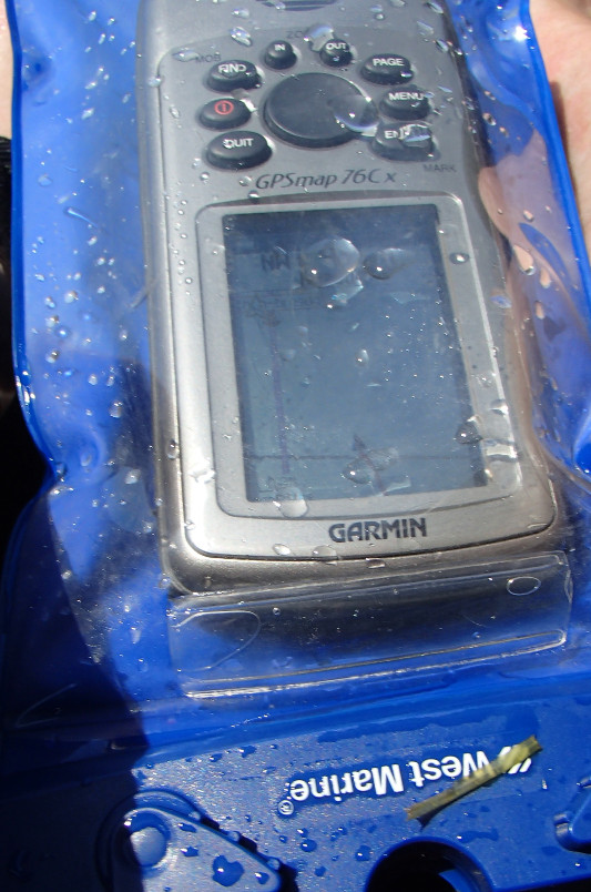
While cross in the Pokomoke Bay, I also hit a milestone in the trip by crossing from Virginia into Maryland. The horizontal (roughly) line on my GPS is the state line, and the little spaceship thing is me.
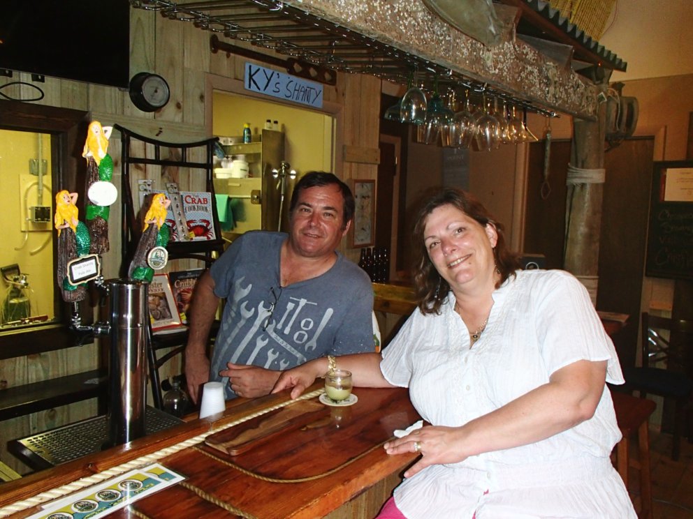
Staying at the Marquis Manor B&B[1] in Crisfield. David and Carolyn Marquis are some of the hardest working and friendliest people you will every meet. Besides the B&B, they have also opened up the Chesapeake Brewing Co.[2] a few blocks away, and hand-craft some really amazing beer. Ruth and I saw their brewery/tasting room on the way back from dinner and stopped in to say hi. Turns out that they were closed, but happened to be there doing paperwork. Dropping in on them turned into a 45 minute talk and private tasting session. I recommend everything I sampled, but my favorite was the Oyster Stout. Yes, it had oysters in it. Yes, you could taste the oyster. Yes, it was delicious.
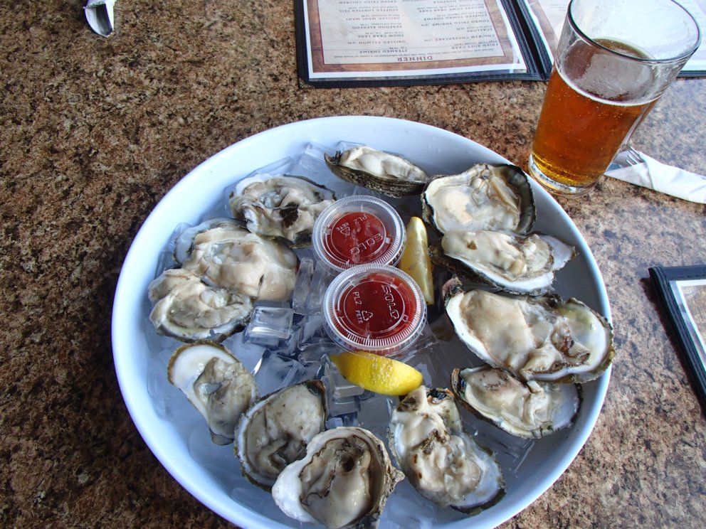
Dinner at Chesapeake Crabhouse and Tiki Bar[3] - started with this appetizer:
Tomorrow: (hopefully) Chance, MD.